


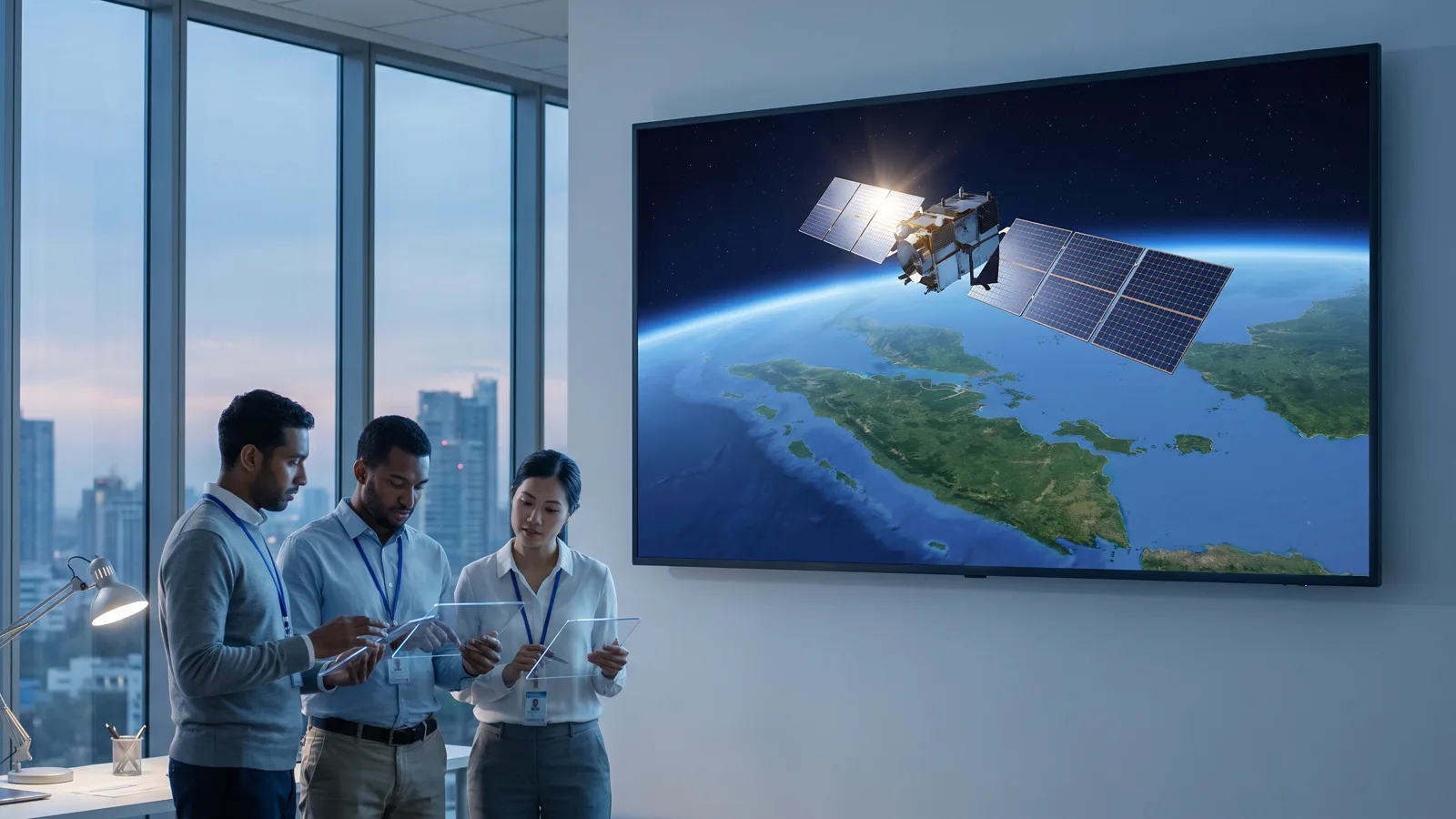
Optical satellites
Sentinel-2 and Landsat for routine monitoring at 10 to 30 metres; commercial imagery at 3 metres or sharper when detail decides. Answers: what changed on the surface, and since when.
PT Rasi Geo Raya · Geospatial technology and Earth monitoring for decisions with more certainty.
We build software, carry out research in geographic information systems and remote sensing, and run mining surveys with LiDAR and drones. Satellite imagery, radar and vessel signals are processed on our own servers into information that boards, regional governments and field teams can act on.
Who we are
PT Rasi Geo Raya is an Indonesian technology company. We work in three fields that support each other: software development, research in geographic information systems and remote sensing, and the survey and monitoring of mining areas.
What sets us apart is not the length of our tool list but the way the work is done. We take satellite imagery straight from the source, process it with engines we wrote ourselves, check it against field data, and keep it on servers we own. There is no rented layer whose contents we do not understand. When a figure appears in one of our reports, we can show which pixels it came from.
We serve mining companies, regional governments, research institutions and technology partners, in Indonesia and abroad. We work in Indonesian and English.
About us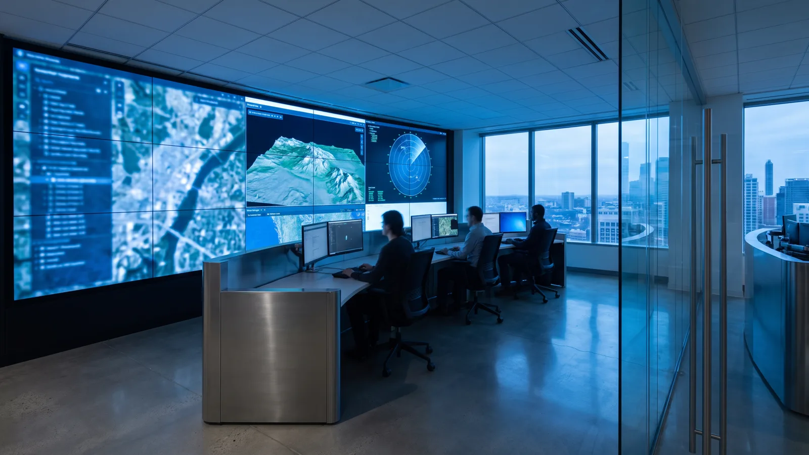
Lines of business
Each line stands on its own as a service, yet all of them share the same processing engine and the same standard of verification. A client may take one line, or the whole chain from sensor to decision.
Web applications and API services that we design, write and operate ourselves, from the database to the interface a field officer uses.
Learn moreAnalysis of optical, radar and hyperspectral satellite imagery to map changes in land cover, the state of waters, and activity on land and at sea.
Learn moreTopographic mapping, volume calculation and three-dimensional models of mining areas from airborne LiDAR, drone photogrammetry, and sonar for water bodies.
Learn more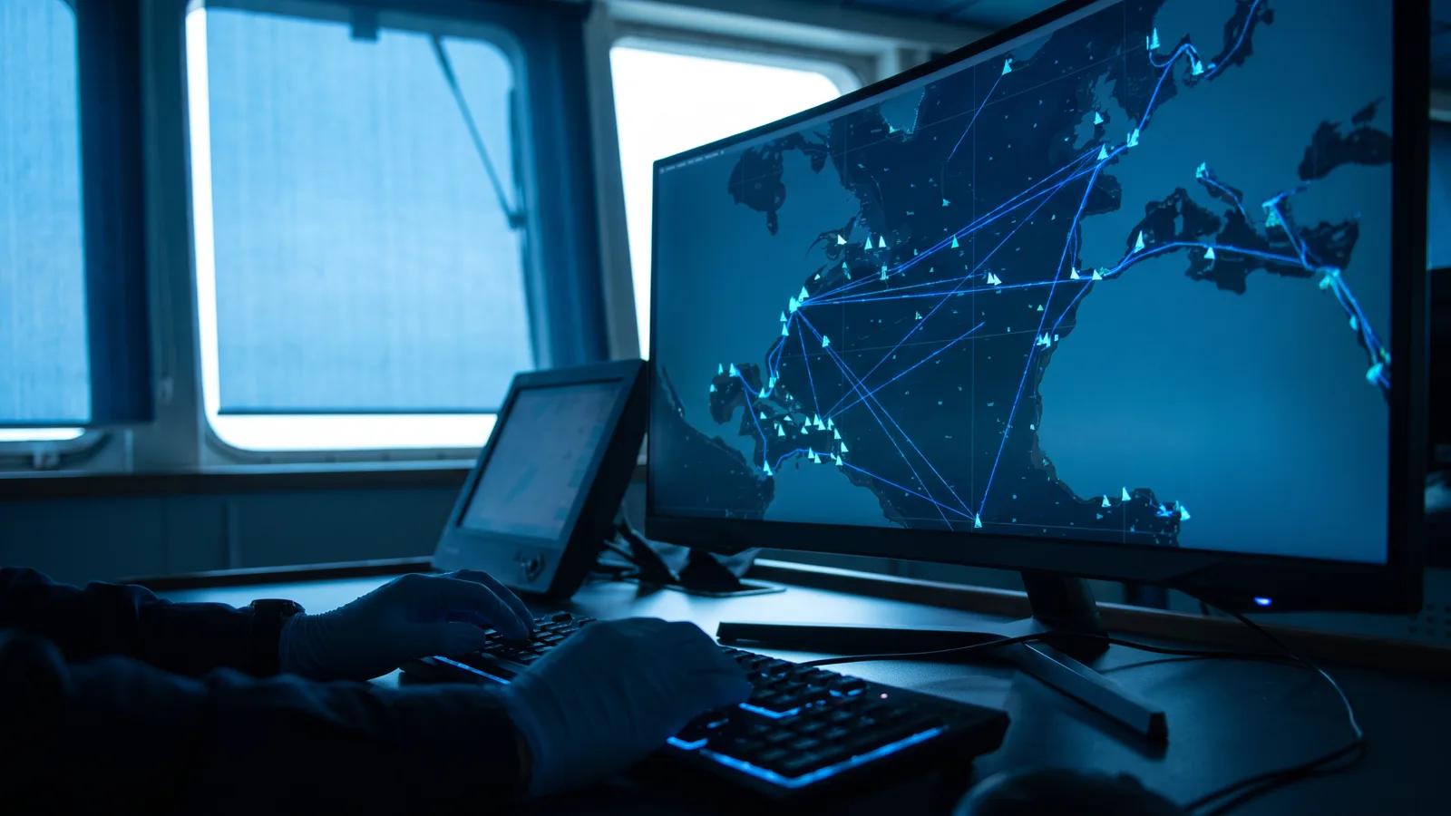
Surveillance of waters with satellite radar, vessel AIS broadcasts and coastal radar: detecting vessels, stationary objects and movement patterns across offshore working areas.
Learn moreHow we work
Data is taken straight from its source: official satellite catalogues, our own drone flights, AIS receivers and partner coastal radars. Every file is logged with its origin, time and version.
Our engine runs corrections, masking, alignment and detection automatically every day, and keeps the intermediate results so that each step can be repeated and inspected.
Findings are cross-checked: optical against radar, imagery against field data, automatic detection against an analyst's review. What does not pass is not reported as fact.
Results are delivered in forms that can be used at once: alerts with evidence, periodic reports, interactive maps, and APIs for the client's systems. The history is kept and never discarded.
Technology
No single sensor answers every question. We choose the right combination for each need, and we are honest about the limits.
Sentinel-2 and Landsat for routine monitoring at 10 to 30 metres; commercial imagery at 3 metres or sharper when detail decides. Answers: what changed on the surface, and since when.
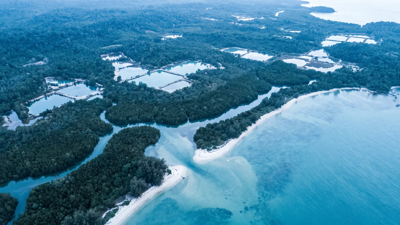
Sentinel-1 sees through cloud and works at night. Answers: is that optical change real, and what objects are at sea while the sky is closed.
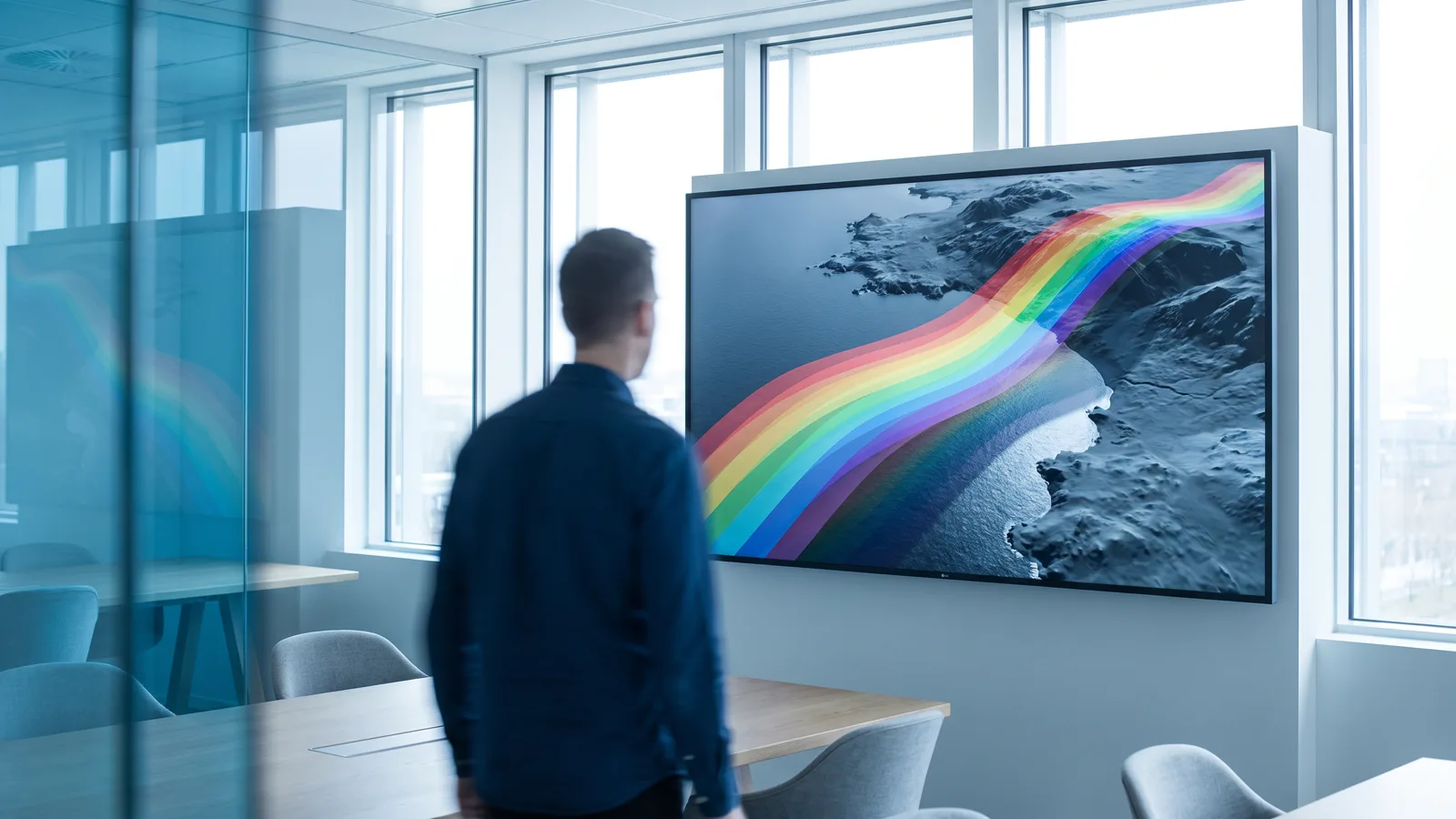
Hundreds of spectral bands to recognise surface materials, minerals and vegetation conditions invisible to ordinary cameras. Used for research and exploration.
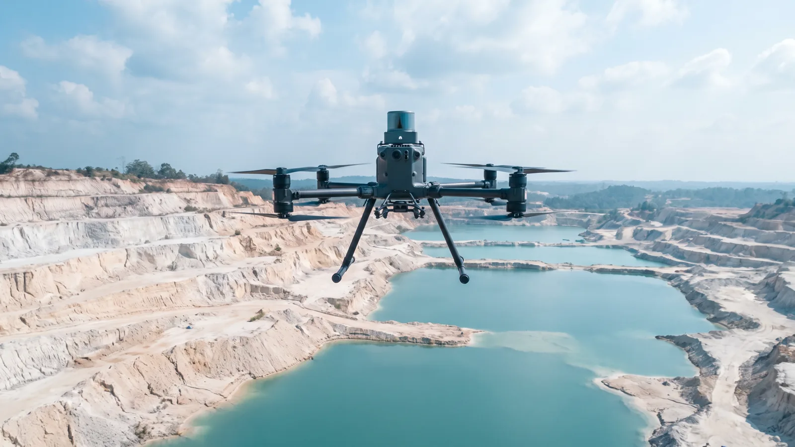
Direct measurement of the shape of the ground to centimetre accuracy. Answers: how much volume, how deep, and what the terrain really looks like.
Vessel identity broadcasts and shore-based radar to see who is moving where, minute by minute, and who prefers not to be seen.

All processing and storage runs on servers under our control in Indonesia. Client data is not sent to third-party services.
Partnerships
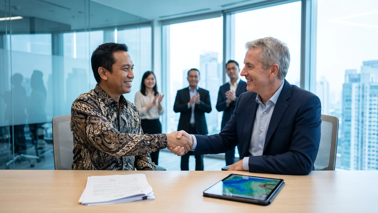
The shape of a partnership follows the need: a subscription to area monitoring, a survey project with a defined scope, the development of a system that is then operated together, or joint research with academic institutions and technology partners.
We are open to partnerships with imagery providers, sensor manufacturers and analytics companies from abroad. Technical meetings are held in English when needed, and our documents are available in both languages.
Every partnership begins with a clear discussion of scope: which data is used, who owns it, how it is stored, and what happens when the partnership ends. We sign a non-disclosure agreement before touching a client's data.
Governance and data security
We process it for the agreed purpose and nothing more. When a partnership ends, the data is returned or destroyed as agreed, with a signed record.
Processing and storage run on infrastructure we manage ourselves. Access is limited per person, logged and reviewed.
Every finding we report carries its imagery and its processing history. News and third-party reports are never used as evidence.
Encryption in transit and at rest, two-step verification for every internal account, separated environments, and regular audits of our own systems.
We follow Indonesian law on personal data protection, geospatial information and employment, and the licence terms of every data source we use.
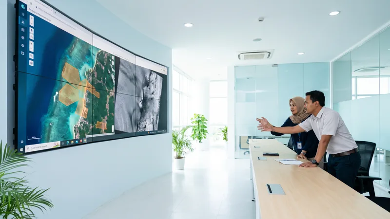
Sixteen processing stages, from pulling a satellite pass to the daily archive, run on their own on our servers. This piece explains what AxGIS does, why we wrote it ourselves, and the figures from its operation.
Read more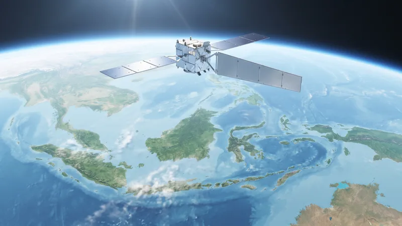
A round-up of the 2026 developments that change what can be seen from orbit over Indonesian waters and land: Sentinel-1D and NISAR in operation, Sentinel-6B in service, Planet flying Tanager-2 and Pelican-12, and Copernicus releasing cloud-free mosaics and a new processing baseline.
Read more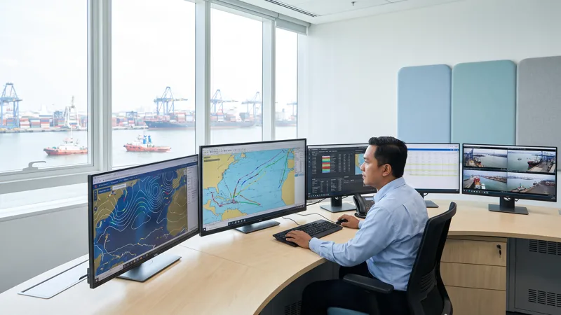
Protheus collects vessel positions every minute across Indonesian waters, turns them into voyages, events and relationships between vessels, and presents them in an analyst console with weather and wave forecasts for 615 ports. Here is everything it does, and the limits we deliberately set.
Read moreOne conversation is enough to tell whether our data answers your question. No obligation follows.